Infrastructure Modelling Services / "GIS+BIM" Services
SteelTech offers unique “GIS + BIM” Fusion based services for infrastructure / Utility projects. These GIS+BIM integrated models can be effectively used during inception, design, construction and operations. SteelTech efficiently builds large infrastructure models from existing 2D CAD, 3D model, GIS, and raster data. Generate more accurate preliminary design proposals, in context, at the appropriate level of detail. Better predict how alternatives may perform within the context of the built environment.
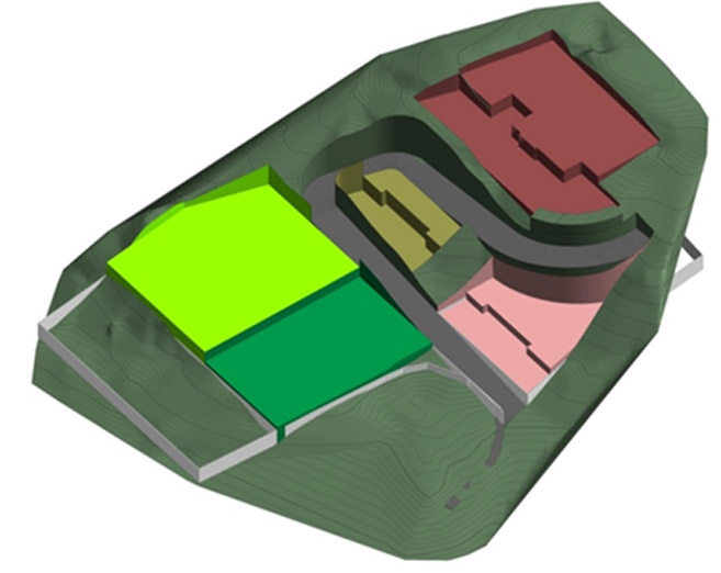
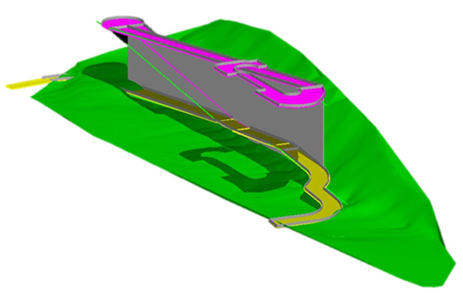
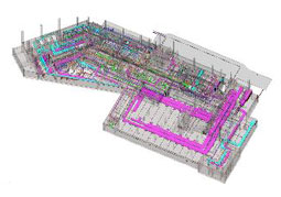
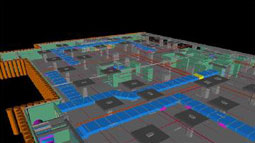
BIM Based Infra Services: 3D Digital Modelling of Infrastructure Services on exact GPS coordinates & elevations
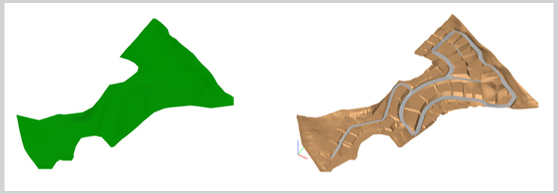
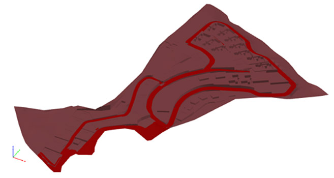
- Digital Terrain Modelling of ground data of master plan (For road levelling & Ground levelling) with Road Network
- 3D Digital Modelling of Infrastructure Services on GPS coordinates & elevations
- Fire protection systems modelling
- Water lines, junctions, valves, tanks, pumps
- Sewerage Systems
- Sewerage lines, manholes, chambers, Junction
- Storm Water Drains
- Storm lines, manholes, chambers, Junctions
- Road network Road Modelling , compound wall,
- lane striping, guard rails, lighting
- Power Systems / Electrical distribution
- Transmission lines, transformers, Distribution points etc.
- Telephone Lines OR any other network
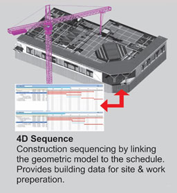
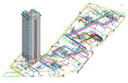
- Site Planning, Coordination & Execution Support.
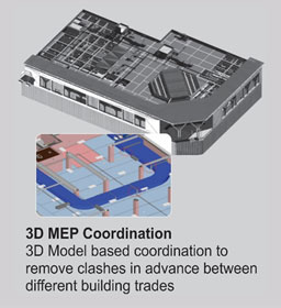
- Clash detection and resolution support (Between the various services)
- Optimized routing planning support. Site simulation and evaluation support
- Trees and vegetation provision planning
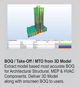
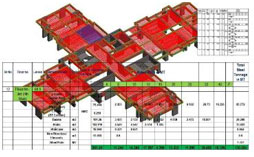
- Estimation / Quantity Take-Off
- Estimation of infrastructure services (All underground and over ground networks / Gravity routed Services). Estimation of earth work and back filling for all infrastructure services
The 3D model is highly detailed and contains additional information about subsurface structures and features that can’t be achieved when working in 2D. The added information consists mainly from Z values and includes depth, elevation, wall thickness, etc. Each structure contains information about the main material it is constructed from to achieve a realistic